International scientific and practical seminar «The role of geodesy in the implementation of the state program «Digital Kazakhstan»
International scientific and practical seminar «The role of geodesy in the implementation of the state program «Digital Kazakhstan»»
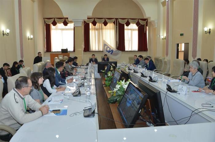
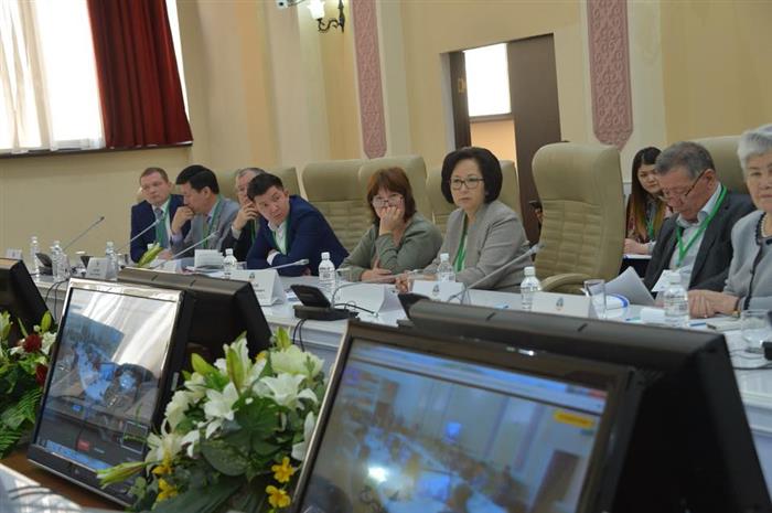
March 6, 2018 in the Scientific Library of Al-Farabi Kazakh National University will be held the I International scientific and practical seminar «The role of geodesy in the implementation of the state program «Digital Kazakhstan»» was held with the participation of representatives of various scientific organizations, higher educational institutions, such as the GIS-Technologies Center of Saken Seifullin Kazakh Agrotechnical University, "Zerde" National Infocommunication Holding" JSC (Astana), «Geostroyizıskaniya» LLC, RSE "State Institute of Agricultural Aerial and Photogeodetic Surveys (GISHAGI)", Center for Earth Remote Sensing of Al-Farabi Kazakh National University and foreign partner-developers and manufacturer of navigation systems of the company Shanghai HuaCe Navigation and others.
The seminar was hosted by the Department of Geography, Land Management and Cadastre and Cartography and Geoinformatics, Faculty of Geography and Environmental Management and the Scientific Research Design Institute of «Geoengineering and Nature Management» of Al-Farabi Kazakh National University.
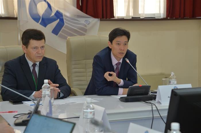
During the meeting was discussed creation of the the scientific and practical geodetic community association of Kazakhstan in order to ensure the successful implementation of the program for the modernization of the industry, the development of standards and methods that meet the modern requirements of the industry and their implementation in the real sector of the country's economy. Today the issue of digitalization comes out on top. The role of geodesy in the implementation of the state program should be carried out on the basis of the scientific academic potential of the Universities’ Consortium and scientific organizations and be adapted to address common priority tasks related to capacity building on certain topics. The participants also noted that in order to implement this program, it is necessary: to unite all efforts of universities and research centers, as well as the coordination center, to approve the establishment of the one geodetic community on the basis Scientific Research Design Institute of «Geoengineering and Nature Management» of Al-Farabi Kazakh National University; organize training courses on the basis of the Institute for teachers and research staff of scientific organizations and universities; to develop interdisciplinary programs for the specialties geodesy, cartography, land management, cadastre, geoinformatics, etc.