


GIS Day Kazakhstan conference was held in KazNU
Views: 284
The Al-Farabi Kazakh National University hosted the international conference GIS Day Kazakhstan, dedicated to the International GIS Day. The purpose of the event was to unite the efforts of like-minded people in the field of geographic information systems.
This event was timed to coincide with the International GIS Day. The conference was attended by international companies: FAO, Whoosh, Leica and "Kazakhstan Gharysh Sapary", "KazAeroSpace", scientists and teachers of Al-Farabi Kazakh National University, Nazarbayev University, Université Grenoble Alpes.
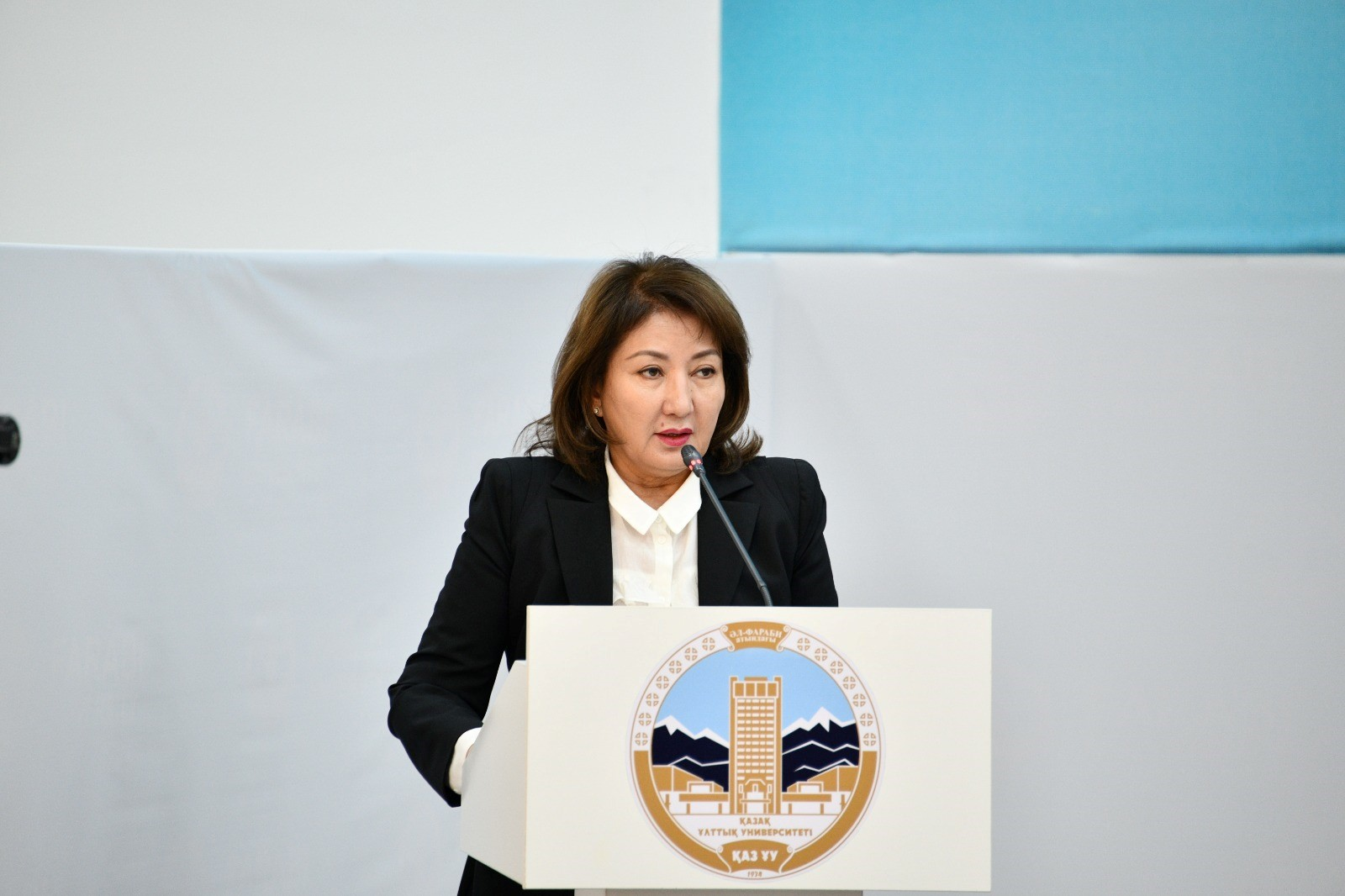
The conference was opened by Zhamila Aitzhanova, Vice-Rector for Scientific and Innovative Activities of Al-Farabi KazNU, with a welcoming speech.
"GIS Day is a time when we celebrate and appreciate the contribution of geographic information systems in various spheres of our lives. GIS play a key role in analyzing spatial data, making strategic decisions and solving current problems. We are here to share our experiences, learn new things and together build the future of this dynamic area of technology. Each of you here is part of the global community and your research, developments and ideas play an important role in shaping the future of GIS," said Ms. Zhamila Aitzhanova.
The event was held in a hybrid mode - on the basis of Al-Farabi KazNU and with online connections from different countries, including the USA, Uzbekistan, Russia, and others. Reports were devoted to different areas, from methods of using GIS platforms to the use of AI in mapping. The participants also presented thematic papers on environmental conditions in the regions and research methods using GIS.
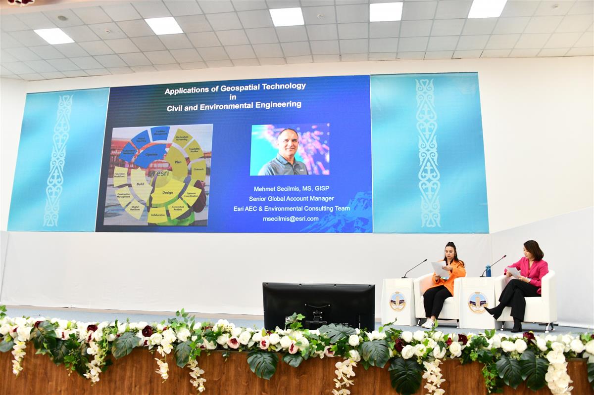
At the plenary session, Mehmet Secilmis, M.S., Senior Global Account Manager for Esri's Architecture, Engineering, Construction and Environment team in the United States, spoke on the topic "Application of geospatial technologies in civil engineering and environmental protection".
PhD, senior lecturer of the Al-Farabi,Kazakh National University senior researcher of the laboratory "Biosphere Ecology" Anara Omarova told about the problem "Air pollution in Almaty".
Azamat Makhanov, Deputy Director of the Spatial Data Department of the JSC "National Company " Kazakhstan Gharysh Sapary" made a presentation "GIS platform: open digital solutions".
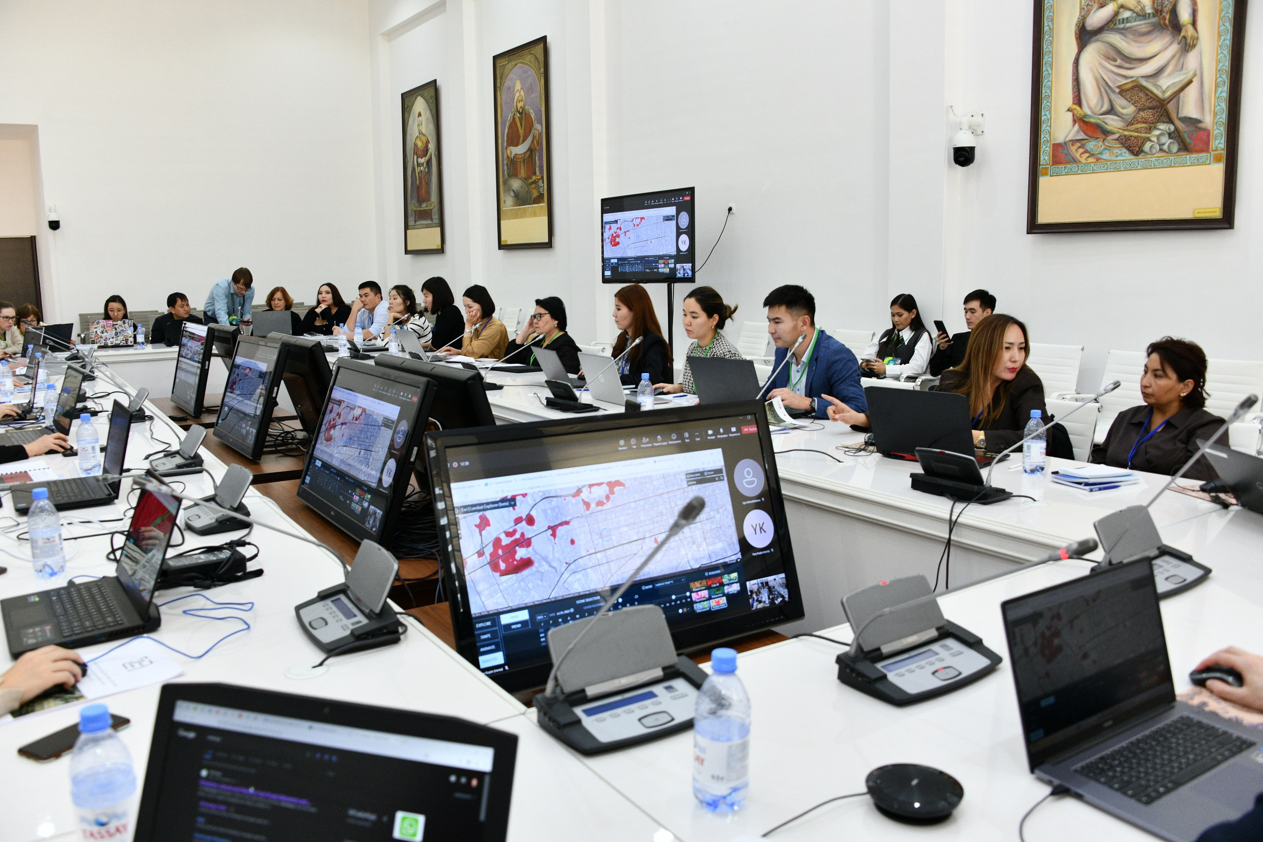
Two master classes were held during the conference, with the main focus on practical knowledge in using ArcGIS and Google Cloud platform.
A job fair for students was also organized as part of the conference.
The conference was organized by Anzhelika Kamza, geological database management specialist, Rio Tinto Exploration Kazakhstan, Venera Junisbekova, senior GIS analyst, Kazzinc Exploration, Ainur Rychshanova, GIS analyst, AtyrauTechInvest, Aigerim Ilyassova, GIS analyst, Norsec Delta Projects, Akmaral Tokbergenova, GIS Analyst, Norsec Delta Projects. According to the organizers, this conference provides a unique platform for the exchange of knowledge, experience and advanced developments in the field of GIS.
The organizers of the International Conference express their deep gratitude to the sponsors for their support: “Nur A-System” LLP, “Leica Geosystems Kazakhstan” LLP, Data + International company, “Institute of Ionosphere” LLP, “AtyrauTechInvest Kazakhstan” LLP, “Norsec Delta Projects” LLP, “Engineering Team” LLP, “NGS” LLP, “TOP GEO” LLP.