


Scientific and practical seminar “Digital technologies in geodesy”.
Views: 110
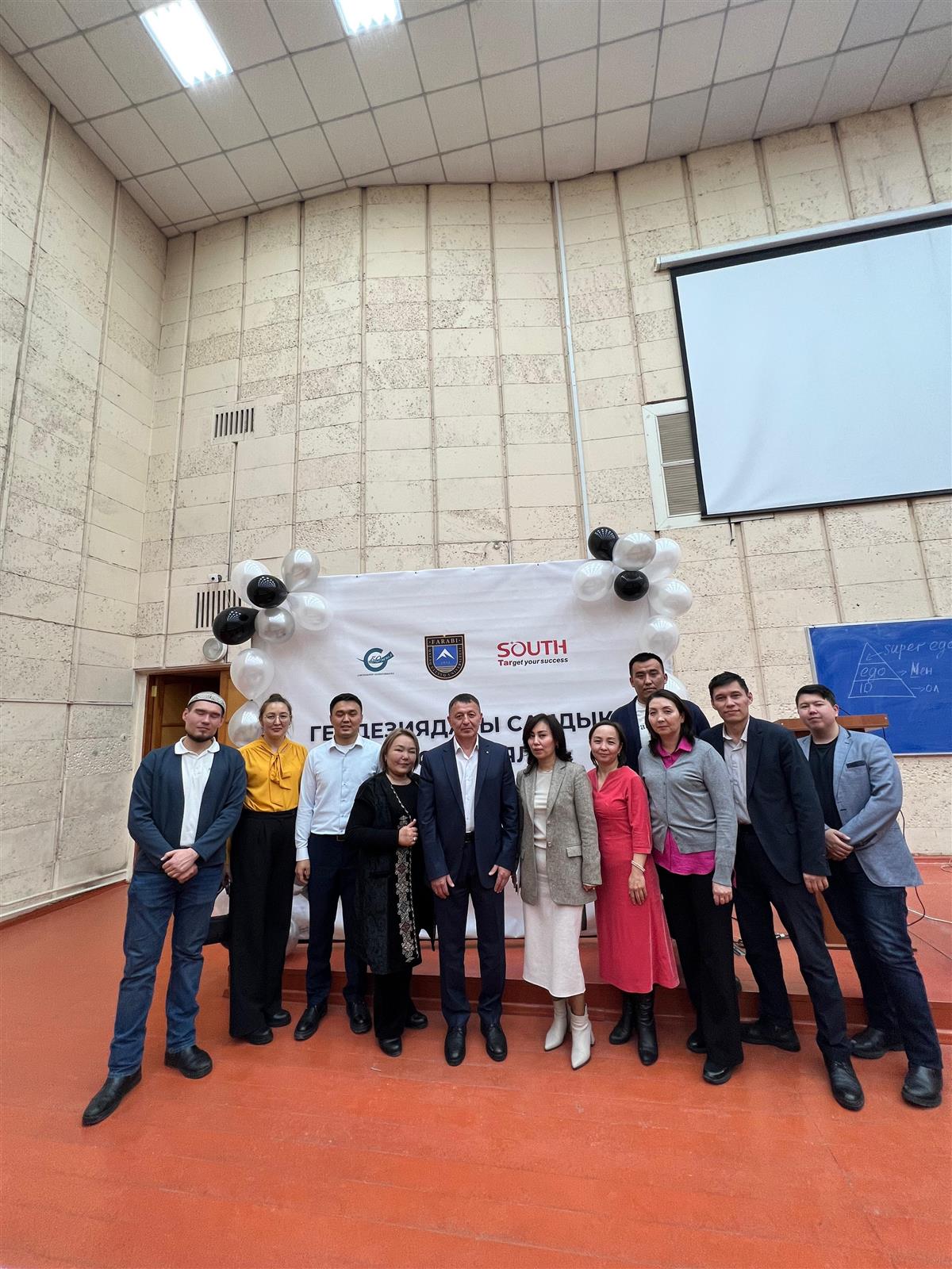
To the 90th anniversary of KazNU named after. al-Farabi with the organization of the teacher of the Department of Cartography and Geoinformatics O.S. Kurmanbaev and A.U. Bekzhanova completed a scientific and practical seminar “Digital Technologies in Geodesy” with the participation of specialists from GeoMasterA LLP.
The meeting was attended by Deputy General Director Jalilov Lutpulla Letipuly, specialist in the implementation of new technologies Alexander Ergaliuly Shchekuteev. In addition, students and teachers of the specialties of geodesy and cartography, land management and cadastre of the faculty took part.
"GEO Master A". LLP is a service company that performs all types of topographic and geodetic work. "GEO Master A". The LLP team carries out field research on the territory of the Republic of Kazakhstan. Has a State license for topographic, geodetic and cartographic work.
The company has the necessary infrastructure, necessary vehicles and other equipment to perform the above work.
Topographic and geodetic research:
- It is planned to create high-altitude survey and geodetic networks;
- Creation of graphic and digital topographic plans at a scale of 1:10000 - 1:200;
- Desk and field support of network construction projects;
- Geodetic work to identify hidden underground structures during repair and other work;
- Engaged in geodetic work on landscape design.
In addition, engineering and geodetic construction work:
- Dismantling the building base, parts and structural elements to nature;
- Internal separation of buildings;
- Executive geodesy;
- Geodetic control of geometric parameters of buildings;
- Geodetic work during installation of equipment, comparison of paths under the crane and inspection of vertical columns, structures and elements;
- Calculation and control of the volume of earthworks was carried out.
This company employs highly qualified employees with extensive experience. They use all the tools and equipment from the leading manufacturer Leica Geosystems (Switzerland). It should be noted,
- Geodetic equipment:
Leica GPS 1230GG (base+rover)
Total stations TCR 407, TS 805, TS 02
Na levels 720-730;
pipe-cable detectors RD-4000;
Laser tape measures - DISTO;
This company has 8 full-fledged teams performing work of any complexity on the territory of the Republic of Kazakhstan.
In a short time, this company has taken a strong position in the market and offers its customers only the most modern solutions that allow them to place orders through the website.
Since its establishment, new specialists have been attracted to the company, a department for technical support, repairs, and work with dealers has been opened.
We use the invaluable experience of GEO Master A LLP, students studying at our department in the field of Geodesy and Cartography, to supplement their theoretical knowledge.
Thanks to the bilateral memorandum, our students are currently studying in the laboratory of the said company.
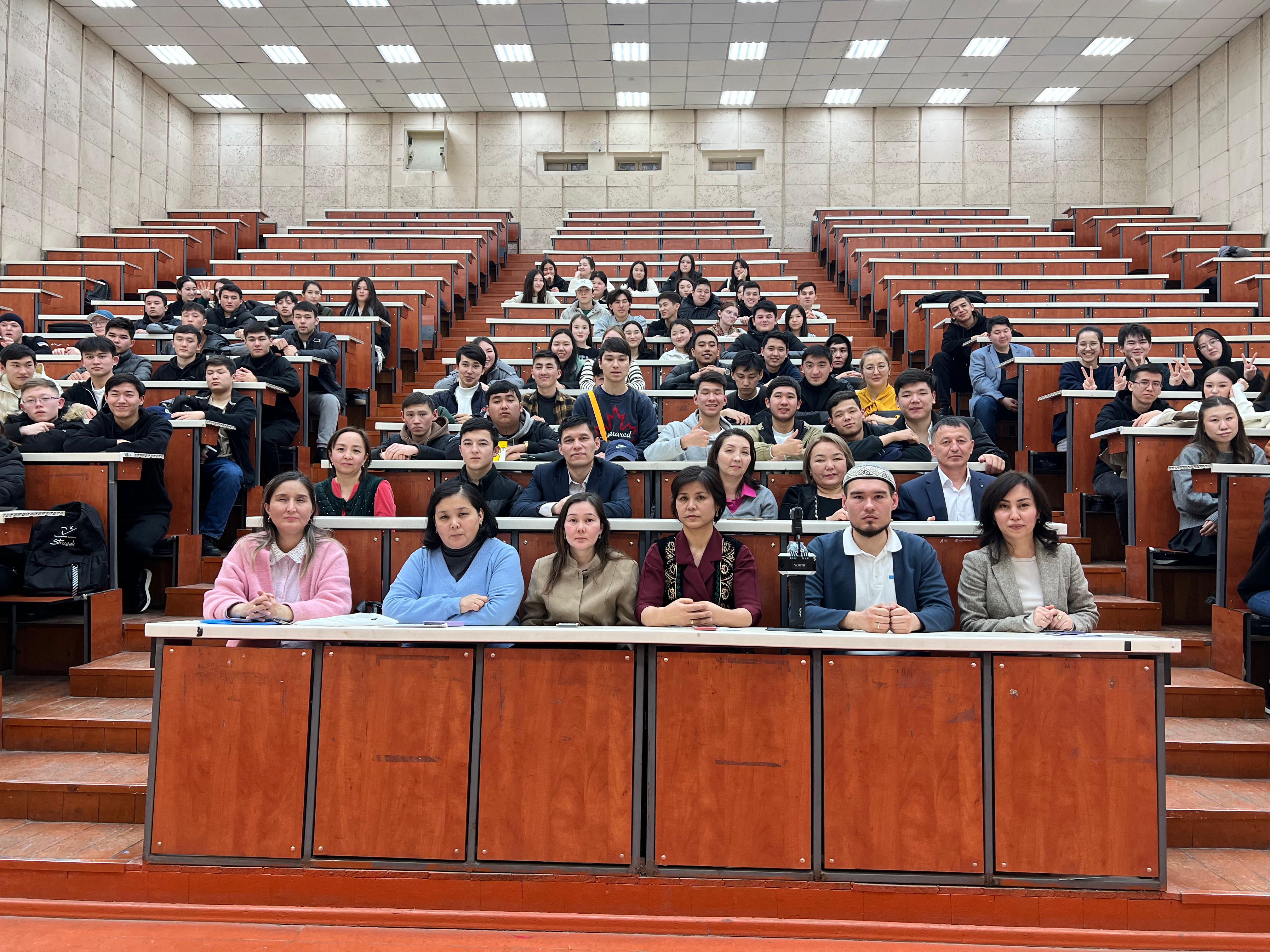
In general, the purpose of today's meeting is to familiarize future specialists and teachers with new modern geodetic tools, supported by theoretical knowledge.
During the meeting, students and teaching staff received valuable information about geodetic work and modern technologies.