Developing Cooperation in the Field of Geodesy
Views: 2811
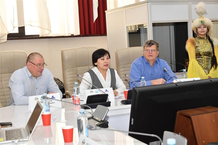
A roundtable discussion «Development of cooperation between universities in Germany and Kazakhstan in the field of geodesy and geoinformatics» was held at Al-Farabi KazNU, during which participants exchanged experience in researching relevant scientific problems.
The Round Table was attended by teachers of the Boyte University of Applied Sciences (Berlin), KSTU and Al-Farabi KazNU.
The meeting was opened by Dean of the Boyt University of Applied Sciences Department of Construction and Geoinformatics Professor Klaus Hel, who spoke about the structure and scientific directions of the faculty.
Professors Werner Stempfhuber and Boris Reznik shared the results of research in the field of monitoring engineering structures in Germany, Africa, Australia, and talked about the use of GIS technologies in the field of nature conservation and alternative energy.
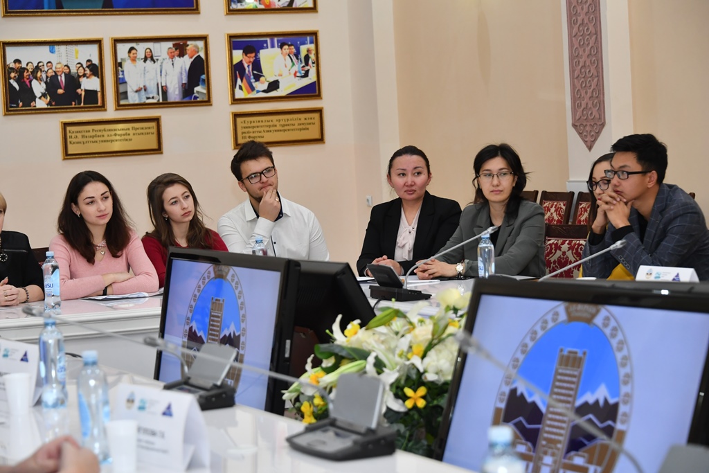
From the Kazakh side, the professor of KarSTU V.N. Dolgonosov, the head of the Department of Artificial Intelligence and BIG DATA of Al-Farabi KazNU professor M.E. Mansurova, doctor PhD E.Kh. Kakimzhanov, as well as PhD students and undergraduates.
Research results of the GNSS antennas phase center were shared by A. Satbergenov, a doctoral candidate in the specialty «Geodesy». Z. Rakhymbay, a doctoral candidate in the specialty «Geoinformatics», spoke about the methods of developing web applications for managing data from engineering and geological surveys.
Of great interest was the report «The use of digital aerial photography and laser scanning for monitoring the status of industrial facilities» prepared by students of the specialty «Geodesy and Cartography» at KSTU Pavel Grossul, Victoria Eldyshova, Natalya Filioglova.
At the end of the Round Table, representatives of Boyt University of Applied Sciences proposed that the Kazakhstani side submit a joint application for the DAAD project «Cooperation with Eastern Europe» in the field of GIS technology and monitoring.