


How the map appears.
Views: 1381
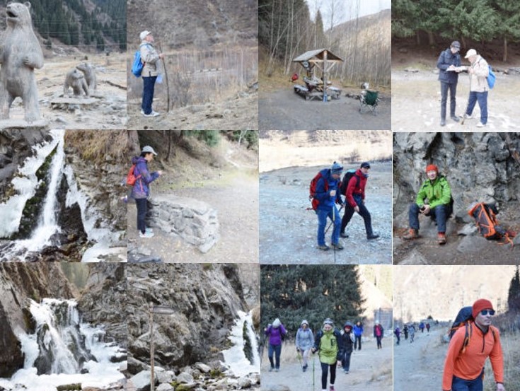
20.11.2020 employees of the Center for Remote Sensing of the Earth together with teachers of the Department of recreational geography and Tourism organized a hike on the trails" Zhas Kaiyn " and " Sarkyrama" to verify the location of markers (tourist objects) on the map using a GPS device.
During the event, a total of 90 markers were identified, and 150 photos were taken.
Director of the Center for Remote Sensing of the Earth Sakhariev B. S., leading specialist of the Center Seitkazy M. M., senior lecturer of the Department of cartography and Geoinformatics Omirzhan Taukebayev, senior lecturer of the Department of recreational geography and tourism Beisakhmet A. A., Senior Lecturer of the Department of recreational geography and tourism Baiburiyev R. M., 4th year student in the specialty "Tourism", member of the team of climbers "Alpine Asia Team" B. Adilbay.
How did this campaign go? …